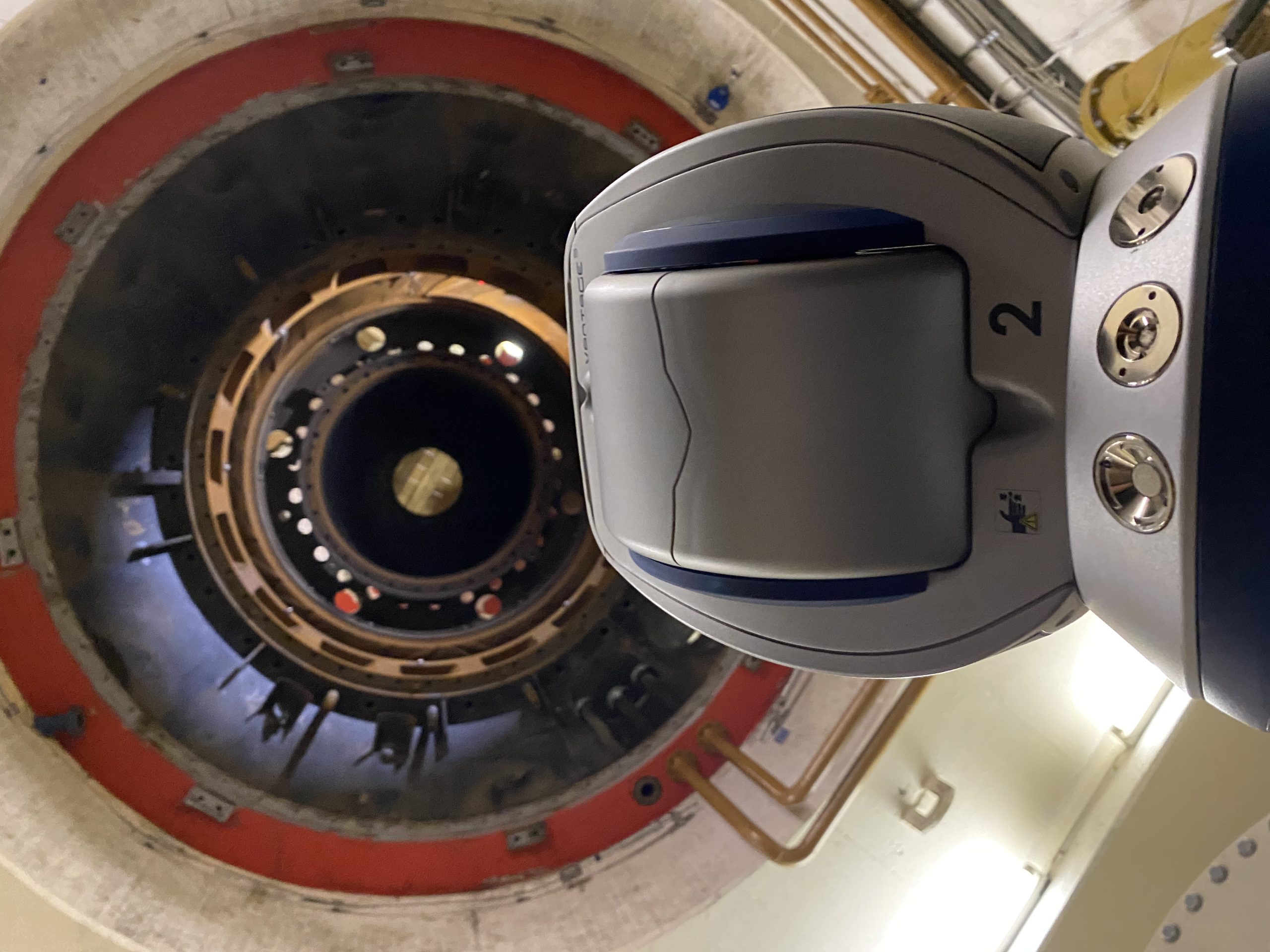


After making spatial measurements, we convert and process them into data that can be used by designers for further design stages. The result includes not only point ordinates, but also 3D models, photos (also combined with point clouds) and a lot of correlations between various elements of the environment.